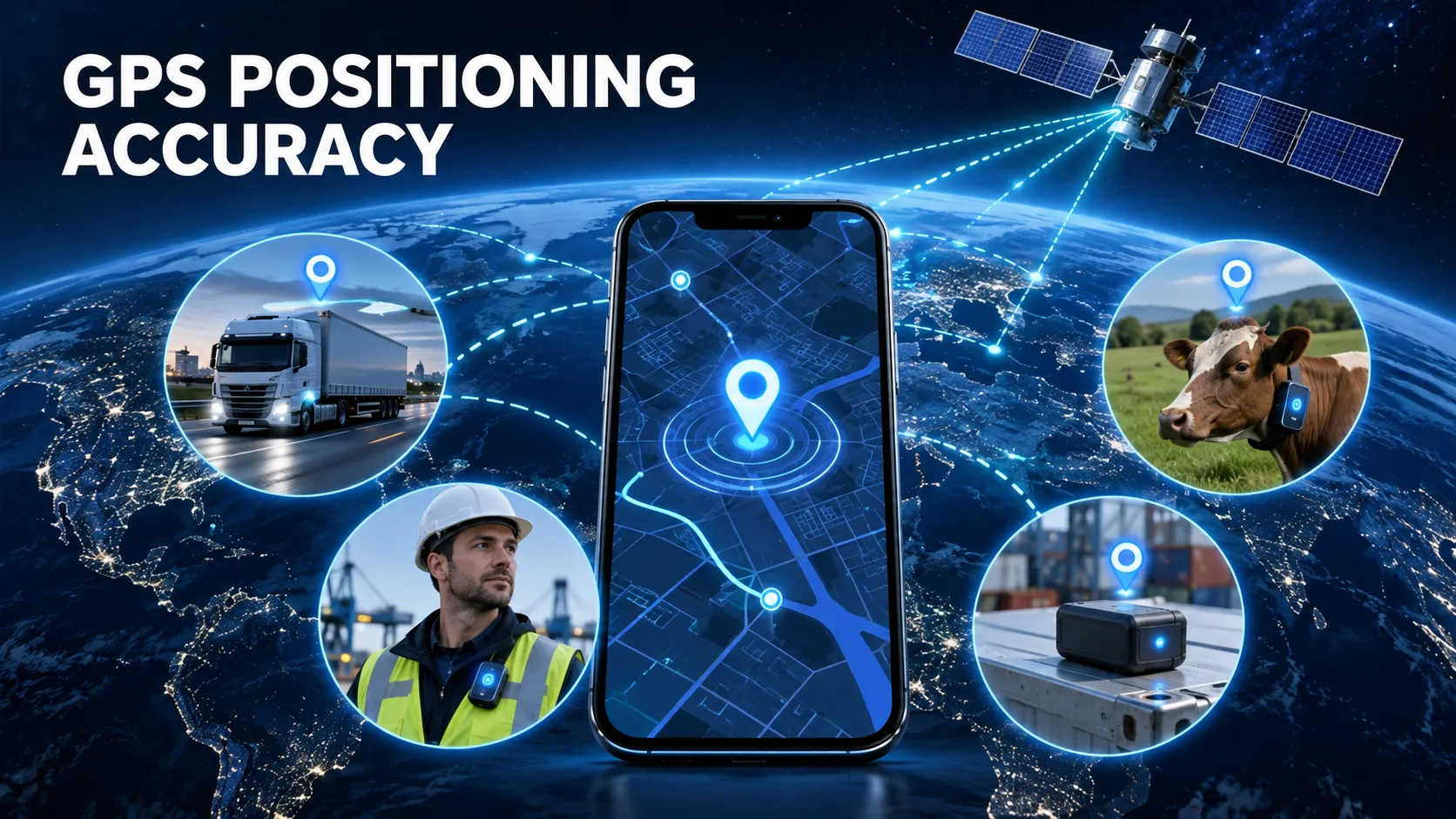
GPS positioning is widely used to locate personnel, vehicles, livestock, pets and mobile assets. However, receiving a location from a GPS tracker does not always mean that the displayed position is completely accurate.
Satellite visibility, antenna placement, surrounding buildings, weather conditions, movement speed and device power settings can all influence positioning performance. A reliable tracking system must therefore combine suitable hardware, intelligent positioning strategies and a stable data platform.
This article explains how GPS positioning works, why location drift occurs and how businesses can improve tracking accuracy in different operating environments.
How Does GPS Positioning Work?
A GPS tracking device receives time and orbital information transmitted by navigation satellites. The device calculates its position by measuring how long signals take to travel from multiple satellites to the receiver.
A tracker normally requires signals from at least four satellites to calculate:
Latitude
Longitude
Altitude
Positioning time
Movement speed
Direction of travel
Modern tracking products may support several global navigation satellite systems, including GPS, BeiDou, GLONASS and Galileo. Using multiple satellite constellations can increase the number of available satellites and help the device obtain a location more quickly.
It is important to distinguish positioning from communication. GPS determines where the device is, while 4G, LoRaWAN, Wi-Fi or another communication network sends that location to the server.
How Accurate Is GPS Location Tracking?
Under open-sky conditions, a properly designed commercial GPS tracker can generally provide sufficient accuracy for personnel safety, vehicle management, livestock monitoring and asset tracking.
Actual accuracy depends on the environment and device design. An open field usually provides better positioning conditions than a street surrounded by tall buildings. A tracker installed beneath metal components may also perform differently from one with an unobstructed view of the sky.
Applications requiring lane-level or centimetre-level measurements need more advanced technology. A centimeter-level RTK GPS tracker uses correction information to reduce common satellite positioning errors and is more suitable for precision vehicle positioning, surveying and specialised industrial projects.
What Causes GPS Location Drift?
GPS drift occurs when the location displayed on the platform moves away from the tracker’s actual position. Several factors can cause this problem.
1. Weak satellite visibility
GPS signals are relatively weak when they reach the earth. Roofs, concrete walls, underground structures, tunnels and dense trees may block or reduce satellite signals.
2. Signal reflection
In urban areas, satellite signals may reflect from buildings, vehicles or metal structures before reaching the antenna. This multipath effect increases the calculated signal travel distance and can produce an inaccurate position.
3. Poor antenna installation
A GPS antenna installed under metal, close to electrical interference or in an unsuitable orientation may take longer to obtain a fix. The enclosure material and internal PCB layout also affect antenna performance.
4. Cold-start positioning
When a tracker has been powered off or disconnected for a long time, it may need to download new satellite data. This produces a longer time to first fix than a device that already has valid satellite information.
5. Low-power operating settings
Long-standby trackers cannot keep the GPS receiver active continuously. They normally wake at scheduled intervals, obtain a location, upload the data and return to sleep. This saves battery power but means the displayed position is updated periodically rather than continuously.
6. Incorrect fallback-location handling
When GPS is unavailable, some trackers use cellular base stations or Wi-Fi information as a fallback. These positions may be less precise. The platform should clearly identify whether a point was obtained through GPS, Wi-Fi, Bluetooth or LBS instead of displaying every point as a satellite location.
Real-Time Tracking Versus Scheduled Positioning
Real-time tracking provides frequent location updates and is suitable for moving vehicles, employee safety and emergency response. However, frequent GPS activation and cellular uploads consume more power.
Scheduled positioning is more appropriate for assets that move infrequently. For example, a 5-year battery GPS tracker can use long sleep periods and event-based reporting to extend operating life.
The correct reporting strategy depends on the application:
Personnel safety devices may report frequently during working hours.
Vehicle trackers can increase reporting frequency while the ignition is on.
Asset trackers may report once or several times per day.
Livestock trackers can use scheduled updates and movement-triggered reporting.
Emergency devices should immediately change to a faster reporting interval after an SOS alarm.
A good firmware design allows reporting frequency to change according to movement, battery level, alarm status and operating schedule.
GPS Positioning for Employee Safety
Employee tracking requires more than a map marker. A complete system may include real-time positioning, SOS alarms, geofences, historical routes, low-battery alerts and emergency response workflows.
The 4G GPS employee badge tracker with SOS is designed for mobile personnel applications where location and emergency communication are important.
For security personnel, traffic teams and outdoor workers, a GPS shoulder warning light can combine visible warning functions with personnel positioning.
GPS is effective outdoors, but indoor environments require additional technologies. A hybrid personnel system may use GPS outside and Bluetooth, Wi-Fi or other indoor positioning methods inside buildings. The platform can then select the most appropriate location source for each environment.
GPS Positioning for Vehicles
Vehicle trackers can obtain continuous power from the vehicle and therefore support more frequent location reporting than many battery-powered devices.
A 4G waterproof wired vehicle GPS tracker can be used for fleet monitoring, route playback and vehicle operating analysis. Installation quality remains critical: the tracker should have stable power, suitable antenna placement and protection against water, vibration and extreme temperature.
For vehicle-finance applications, positioning may also be combined with geofence alarms, ignition detection and risk-control functions. Businesses planning this type of project can review the vehicle finance GPS tracking solution.
GPS Positioning for Assets
Asset tracking often requires a balance between positioning frequency and battery life. A tracker attached to a container, trailer or piece of machinery may remain stationary for weeks and then begin moving unexpectedly.
A rechargeable waterproof magnetic GPS tracker allows flexible installation on suitable metal surfaces. Movement detection can wake the device when the asset is moved, while scheduled sleep helps reduce unnecessary energy consumption.
For reliable asset monitoring, the system should support:
Movement and vibration detection
Geofence entry and exit alerts
Low-battery warnings
Historical route playback
Device-offline detection
Scheduled and event-triggered reporting
Configurable positioning intervals
How to Improve GPS Positioning Reliability
Improving positioning performance requires coordinated hardware, firmware and platform design.
Select the correct antenna
The antenna must support the required satellite frequencies and match the enclosure design. Its location should be evaluated through real-device testing rather than schematic analysis alone.
Avoid metal obstruction
Metal components can block or reflect satellite signals. The GPS antenna should be positioned away from batteries, shields and large metal structures whenever possible.
Use assisted positioning
Assisted GPS data can help the receiver obtain satellite information more quickly, especially after a cold start. The assistance-data server must respond quickly and provide current information.
Add intelligent reporting modes
A tracker should not use the same positioning interval in every situation. Stationary, moving, alarm and low-battery modes should have different reporting policies.
Combine multiple positioning technologies
No single technology performs best in every environment. GPS can be used outdoors, while Bluetooth, Wi-Fi, UWB or cellular positioning can support indoor and obstructed areas.
Preserve the original positioning type
The platform should record the source and time of every location. This allows users to distinguish accurate satellite points from approximate fallback positions.
Monitor device health
Battery voltage, satellite count, signal quality, network status and last communication time can help technical teams identify installation or hardware problems before a tracker becomes unavailable.
Choosing a GPS Positioning System
Before selecting a device, define the operating environment and project requirements:
Will the tracker operate indoors, outdoors or in both environments?
Is continuous tracking required?
What positioning accuracy is acceptable?
How often should the location be updated?
Can the device use vehicle power, or must it operate from a battery?
Is waterproof or dustproof protection required?
Does the project need SOS, geofence or tamper alarms?
Will the data be hosted on a public platform or private server?
Is API integration required?
Are custom hardware, firmware, enclosure or branding services needed?
These questions determine the appropriate positioning module, communication network, battery capacity, antenna design and reporting strategy.
Conclusion
GPS positioning accuracy depends on much more than the satellite receiver alone. Antenna design, installation environment, firmware logic, communication stability and platform processing all affect the final tracking result.
Outdoor applications can rely primarily on satellite positioning, while indoor or complex industrial environments benefit from hybrid positioning. Long-standby products require intelligent power management, and precision projects may require RTK correction technology.
By selecting the correct device and designing the reporting strategy around the real operating environment, businesses can build a more reliable GPS location tracking system for personnel, vehicles, livestock and valuable assets.