Hardware & PCB design
PCB, enclosure, connectors, antenna and power design are reviewed against the installation and operating requirements.

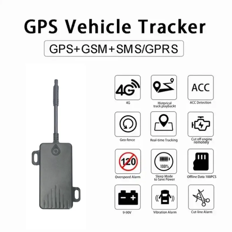
The Centimeter-Level RTK GPS Tracker is a professional high-accuracy positioning terminal developed for vehicles, autonomous equipment and industrial mobile assets. It combines multi-constellation GNSS positioning, RTK correction data, 4G communication and six-axis motion sensing. Optional SOS, microphone, speaker and buzzer interfaces support emergency communication and customized industrial applications.
Final pricing depends on configuration, quantity, taxes and shipping.
Sample availability, quantity and lead time depend on the selected model. Confirm the pilot scope before placing a production order.
The Centimeter-Level RTK GPS Tracker is designed for positioning projects where ordinary vehicle GPS accuracy is insufficient. Standard positioning terminals may produce errors of several meters, especially near buildings, industrial facilities and complex road environments. This product receives RTK correction data to reduce positioning errors and deliver centimeter-level results under suitable operating conditions.
The device supports multi-constellation satellite positioning and can be configured for GPS, BeiDou, GLONASS and Galileo. Access to multiple satellite systems increases the number of visible satellites and improves positioning reliability in different countries and project environments.
RTK positioning requires correction data from a fixed base station or a compatible network RTK service. The tracker receives correction information through the 4G network and applies it to the GNSS observations. When satellite reception, correction-data quality and communication conditions are suitable, the terminal can obtain an RTK fixed solution and deliver much higher accuracy than a conventional GPS tracker.
A built-in six-axis motion sensor provides additional vehicle and equipment status information. It can be used to detect movement, vibration, direction changes and abnormal activity. Combining RTK coordinates with motion-sensor data creates more detailed records for industrial vehicles, autonomous equipment and precision fleet applications.
The terminal also supports an external SOS emergency button. When the operator presses the button, the device can upload an alarm event together with its latest high-precision position. Optional microphone, speaker and buzzer accessories support authorized audio monitoring, voice prompts, dispatch messages and audible warnings.
Through the web platform or mobile application, managers can view real-time positions, RTK status, historical routes, equipment status and alarm records. Electronic geofences can be created for construction sites, mines, ports, farms, factories and other controlled operating areas.
This RTK tracker can also provide positioning data to a customer’s private platform through a customized protocol or API. It is suitable for autonomous vehicles, robots, construction machinery, mining trucks, agricultural equipment, port vehicles and automotive testing projects.
Shenzhen Jinshengchang Technology Co., Ltd. provides complete OEM and ODM services for high-precision RTK positioning projects. Available services include PCB development, GNSS and 4G antenna matching, enclosure design, wiring-harness development, RTK server integration, firmware customization, communication protocols, API integration and white-label management platforms.
Reference configurations are shown below. Final specifications are confirmed in the approved product specification.
| Positioning Mode | WIFI, GSM, GPS, GPRS, LBS, AGPS, LTE |
|---|---|
| Battery Life (Hours) | <12H |
| Application Scenarios | Motorcycles, Handheld, Bicycles |
| Functions | Waterproof, Fast Charging |
| Network | GSM, GPS, GPRS, 4G LTE, WIFI, 4G, 2G |
| Communication Mode | WIFI |
| Installation Method | Sun Visor, Portable, Windshield, Dashboard |
| Battery | 200mAh |
| Data Storage | Other |
| Supported Platforms | PC, iOS APP, Android APP |
| Type | Mini, Wireless |
| Viewing Angle | >180° |
| Button Battery | No |
| Warranty | 1 Year |
| Installation Position | Windshield |
| Communication Standard | 2G+4G |
| Battery Life (Hour) | 3-5 hours |
| Battery Capacity(mAh) | 200mAh |
| GPS Feature | GPS+BDS+LBS |
| APP | gps51 |
| Place of Origin | Guangdong, China |
| Usage Scenario | Automotive, Motorcycle |
| Size | 88*43*16mm |
| Functions | GPS Location, Location History, Remote Control |
Install the SIM Card: Use a SIM card compatible with the selected 4G network
Connect Vehicle Power: Connect the positive, negative and ACC wires according to the wiring diagram
Install the GNSS Antenna: Position the antenna with a clear view of the sky and away from strong interference
Configure the APN: Enter the correct mobile-network APN information
Configure the Platform: Set the server address, communication port and device protocol
Configure RTK Corrections: Enter the NTRIP account, mount point and correction-service parameters
Register the Device: Add the IMEI or device ID to the tracking platform
Install the SOS Button: Place it within easy reach of the driver or equipment operator
Install the Microphone: Select a protected position that provides clear audio reception
Install the Speaker: Mount it where voice prompts can be heard clearly
Install the Buzzer: Secure it in the required warning area
Test Standard GNSS: Confirm that the device receives valid satellite coordinates
Test the RTK Solution: Verify correction-data reception and RTK fixed status
Check Positioning Accuracy: Compare the reported coordinates with a known reference position
Configure Alerts: Set geofence, movement, overspeed and power-disconnection rules
Secure the Wiring: Protect all connections against vibration, water and accidental disconnection
Define the application, country, quantity, reporting interval and target battery life.
Agree the device, network, power system, payload and platform interfaces.
Test representative devices, coverage, power consumption and alarm delivery on site.
Approve the specification and pilot results, then plan production, installation and support.
PCB, enclosure, connectors, antenna and power design are reviewed against the installation and operating requirements.
Reporting intervals, event logic, payload encoding and remote configuration are defined in a versioned interface document.
Device registration, maps, history, alarms and customer APIs are scoped together with access permissions and data handling.
Logo, enclosure color, labels, packaging and white-label interfaces can be assessed for the selected product and order quantity.
Sample availability, quantity and lead time depend on the selected model. Confirm the pilot scope before placing a production order.
Logo, packaging, firmware, payloads and API integration can be assessed within the agreed OEM / ODM scope.
Reporting interval, installation, radio conditions and temperature affect results. Confirm the operating profile and validate it during the pilot.
Share the country, device quantity, application, network, power target and platform requirements. Include drawings or interface documents when available.
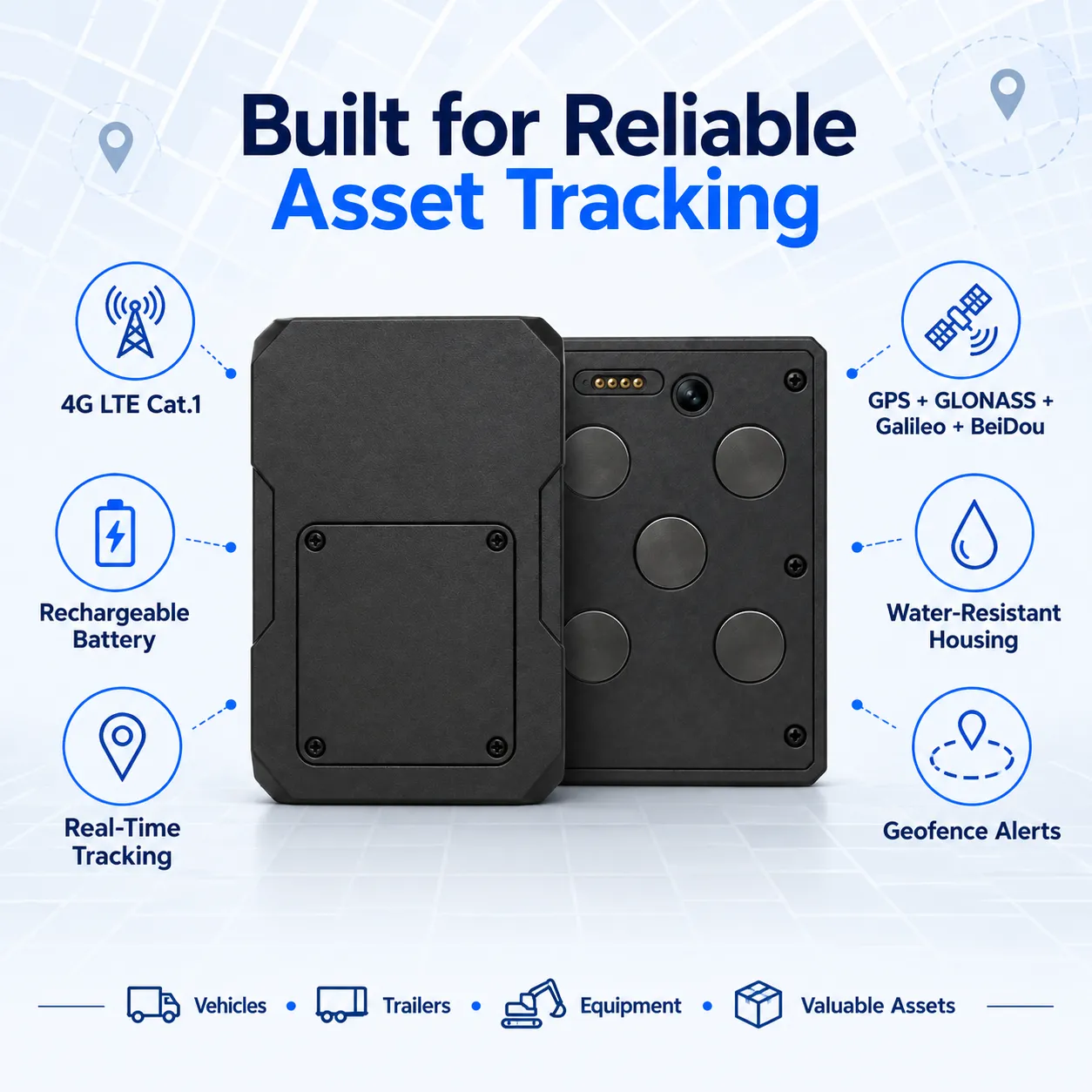
This Waterproof Magnetic GPS Tracker combines strong magnetic installation, a rechargeable high-capacity battery and an ultra-low-power operating system. Under a low-frequency scheduled reporting configuration, the device can provide up to five years of standby time, making it suitable for trailers, containers, construction machinery and assets that require long-term monitoring without permanent wiring.
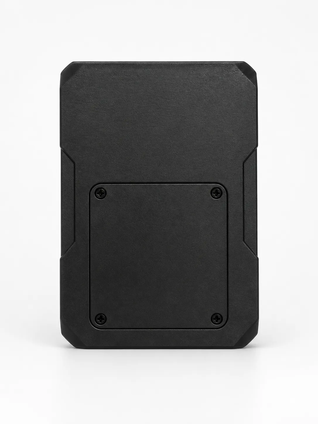
This Rechargeable Waterproof Magnetic GPS Tracker is a portable, wire-free positioning device designed for vehicles, trailers, containers, construction equipment and valuable mobile assets. Its strong magnetic mounting system enables fast installation on metal surfaces, while the rechargeable battery and sealed housing support reliable outdoor tracking without connecting to the vehicle’s power supply.
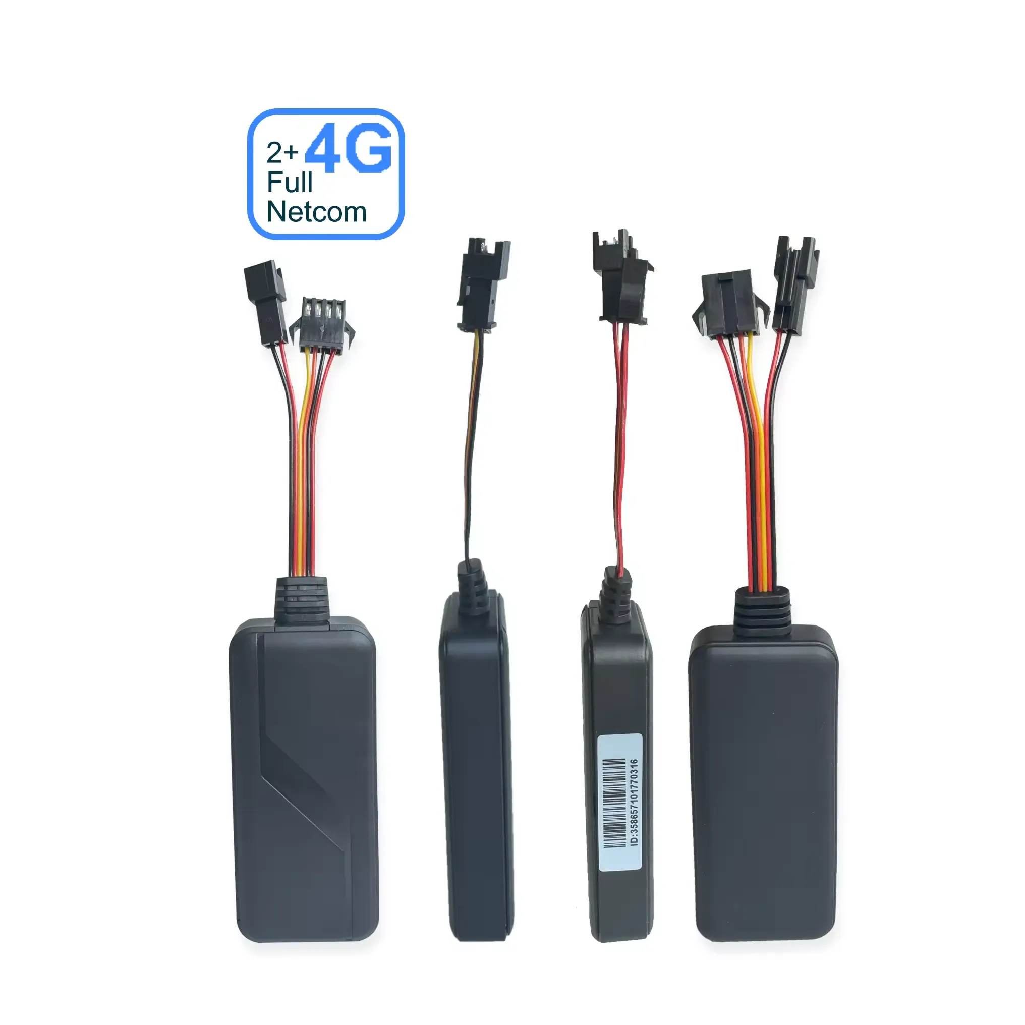
This 4G Vehicle GPS Tracker combines real-time vehicle positioning with expandable emergency communication accessories. It supports an external SOS button, microphone, speaker and buzzer, making it suitable for fleet management, taxis, school buses, logistics vehicles and commercial transportation. OEM customers can customize the hardware, firmware, communication protocol and tracking platform.