Hardware & PCB design
PCB, enclosure, connectors, antenna and power design are reviewed against the installation and operating requirements.

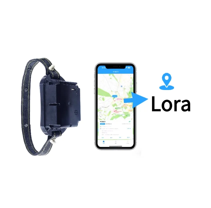
The JSC-805 is a rugged solar-powered 4G/2G GPS tracking collar for cattle, sheep, horses, and other large animals. It provides location monitoring, geofencing, route history, activity analysis, and livestock security through mobile apps and a web platform.
Final pricing depends on configuration, quantity, taxes and shipping.
Sample availability, quantity and lead time depend on the selected model. Confirm the pilot scope before placing a production order.
The JSC-805 is a solar-powered cellular GPS collar developed by Shenzhen Jinshengchang Technology Co., Ltd. for cattle, sheep, horses, and other large animals. It combines GPS and BeiDou positioning, 4G LTE communication, 2G GSM fallback, a 20000mAh battery, solar charging, and an IP68 waterproof enclosure.
Farm owners can monitor livestock locations, review historical routes, create electronic geofences, and receive abnormal-event notifications through the WECHATGPS web platform or mobile application.
The JSC-805 transmits location and device-status data directly through the cellular network. Unlike a LoRaWAN collar, the cellular version does not require a LoRaWAN gateway, but every collar requires an activated SIM card and a suitable mobile data plan.
Where supported by the selected communication module and local operator, the device can fall back to a 2G GSM network when 4G LTE coverage is unavailable. The correct regional version must be selected according to the deployment country and mobile operator.
The collar supports GPS and BeiDou satellite positioning for outdoor livestock tracking. AGPS can help reduce the initial satellite-positioning time, while Wi-Fi and LBS provide supplementary location information when satellite signals are weak.
Actual location accuracy depends on satellite visibility, terrain, vegetation, weather, antenna orientation, cellular coverage, and the selected reporting mode.
A 20000mAh polymer battery supports long-term outdoor operation. The integrated solar panel replenishes energy during daylight and helps reduce manual charging and maintenance requirements.
Battery life is affected by the positioning interval, upload frequency, cellular signal strength, temperature, solar exposure, battery age, and animal activity. For the best endurance, farms should use scheduled reporting during normal operation and switch to more frequent tracking only when necessary.
Users can draw virtual boundaries around grazing areas, farms, water sources, roads, or restricted zones. When an animal enters or leaves a configured geofence, the platform can generate an alert for the responsible manager.
Geofencing helps farms detect escaped livestock, unauthorized movement, and animals approaching dangerous areas.
The WECHATGPS platform records positioning reports and displays livestock movement routes by date and time. Farmers can review grazing paths, activity patterns, resting periods, and the last reported location.
An inactivity alert can help identify a collar that has been removed, an animal that has remained in one place for an unusual period, or a possible health and safety event. This function is a management aid and is not a veterinary diagnosis.
The JSC-805 uses a sealed IP68 enclosure designed for rain, mud, dust, and demanding farm environments. The reinforced collar strap is intended for long-term use on large livestock.
The device should still be inspected regularly for enclosure damage, loose fasteners, strap wear, dirt covering the solar panel, or an unsuitable fit around the animal’s neck.
The management system supports:
Jinshengchang can also provide customer logos, customized firmware, communication protocol integration, white-label platforms, mobile applications, packaging, and OEM/ODM manufacturing services.
Reference configurations are shown below. Final specifications are confirmed in the approved product specification.
| Positioning Mode | GPS, BEIDOU, WIFI, LBS, GPRS, AGPS, GSM |
|---|---|
| Application | Logistics |
| Battery | None |
| Features / Characteristics | WIFI, GPS Navigation, Touch Screen, 5G, SDK Available |
| Functions | Remote Control, Voice Control, App Remote Control, Activity Monitoring, Fence management, vibration reminder, electric shock function |
| Brand | HJJ |
| Material | Plastic |
| Private Mold | Yes |
| Place of Origin | Guangdong, China |
| Type | Wireless, Build-in |
| Placement | Animal, cow, horse |
| Track View | PC, IOS APP, SMS Coordinate, Android APP |
| Data Storage | SD Card, Cloud Storage |
| Warranty | 1 Year |
| Model Number | Lora |
| Weight | 600g |
| Usage | Large Animals, Cattle and Sheep, Wildlife |
| Sales Unit | Single Product |
| Single Package Size | 25X25X20 cm |
| Single Product Gross Weight | 1.0 kg |
| 4G LTE-FDD Bands | B1 / B2 / B3 / B4 / B5 / B7 / B8 / B12 / B13 / B18 / B19 / B20 / B25 / B26 / B28 / B66 |
| 4G LTE-TDD Bands | B34 / B38 / B39 / B40 / B41 |
| 2G GSM Bands | GSM 850 / EGSM 900 / DCS 1800 / PCS 1900 MHz |
| SIM Card | Nano SIM |
| Regional Versions | Europe / Asia / Africa / Australia / North America / Latin America |
Confirm the 4G and 2G frequency bands used by the local mobile operator
Select the correct regional communication module before ordering
Install an activated Nano SIM card with mobile data and SMS services
Fully charge the collar before the first deployment
Create the animal profile on the management platform
Bind the JSC-805 device ID to the corresponding animal
Adjust the strap to ensure secure and comfortable installation
Keep the solar panel facing outward and unobstructed
Configure the positioning interval and data upload frequency
Create electronic geofences around grazing and restricted areas
Configure low-battery, offline, movement, and boundary alarms
Test GPS positioning and cellular communication before releasing the animal
Monitor battery level, signal strength, location, and alarms after deployment
Define the application, country, quantity, reporting interval and target battery life.
Agree the device, network, power system, payload and platform interfaces.
Test representative devices, coverage, power consumption and alarm delivery on site.
Approve the specification and pilot results, then plan production, installation and support.
PCB, enclosure, connectors, antenna and power design are reviewed against the installation and operating requirements.
Reporting intervals, event logic, payload encoding and remote configuration are defined in a versioned interface document.
Device registration, maps, history, alarms and customer APIs are scoped together with access permissions and data handling.
Logo, enclosure color, labels, packaging and white-label interfaces can be assessed for the selected product and order quantity.
Sample availability, quantity and lead time depend on the selected model. Confirm the pilot scope before placing a production order.
Logo, packaging, firmware, payloads and API integration can be assessed within the agreed OEM / ODM scope.
Reporting interval, installation, radio conditions and temperature affect results. Confirm the operating profile and validate it during the pilot.
Share the country, device quantity, application, network, power target and platform requirements. Include drawings or interface documents when available.
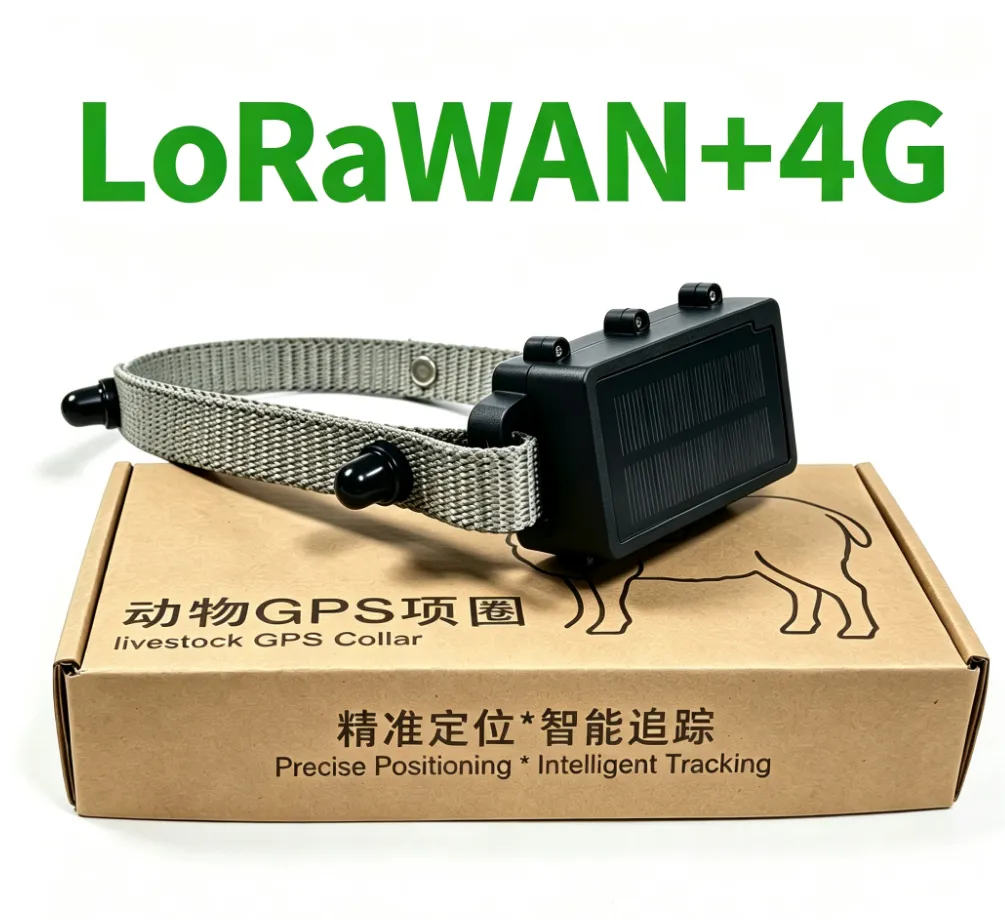
The Sheep GPS Tracking Collar is designed for real-time flock location, grazing-route monitoring and escape prevention. It supports GPS positioning, configurable location uploads, electronic geofences and historical route playback. Waterproof construction, low-power operation and optional LoRaWAN or 4G communication make it suitable for large farms, open pastures and remote grazing areas.
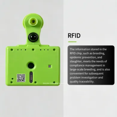
The Pasture Livestock Tracking Ear Tag is designed for cattle, sheep, and other grazing animals that require long-range location tracking and digital herd management. It combines GPS positioning, LoRaWAN communication, activity monitoring, temperature sensing, RFID identification, and geo-fence alerts in one compact livestock ear tag. The device is suitable for large farms, open pasture, remote grazing areas, and livestock IoT projects where farmers need to monitor animal location and movement from a web platform or mobile app. LoRaWAN communication can reduce the need for a cellular SIM card on each device, while optional 4G connectivity can be used for specific project requirements.
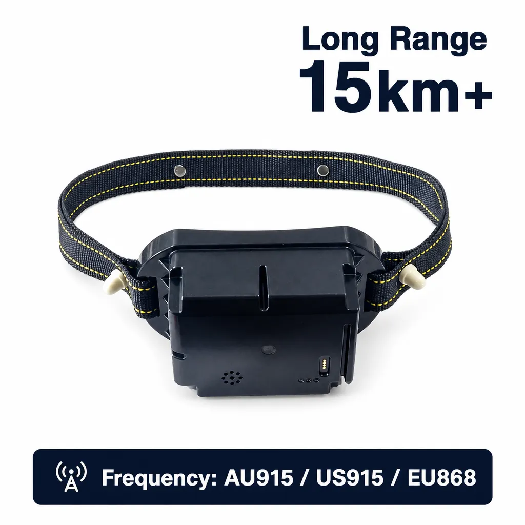
A LoRaWAN cattle containment collar combining GPS positioning, audio warnings and controlled electric pulse guidance. It enables ranchers to define virtual grazing boundaries, monitor cattle locations and manage herd movement remotely through a mobile app or web platform.